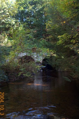
Whiting River
East of here is Stoney Lonesome.
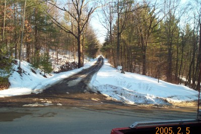
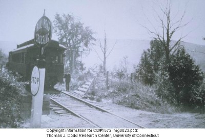
This is the eastbound view at the College Road (now listed as Browns Lane) grade crossing back towards Stoney Lonesome. The old picture is from 1924 and came from the Connecticut History Online archive.
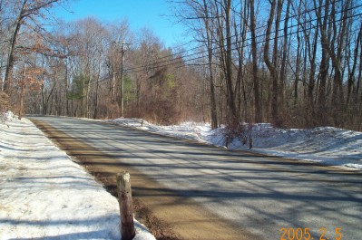
This is the westbound view from the crossing towards the Whiting River Viaduct. Further down the hill from here there is another old road (now a driveway) leading to the west opposite of Old Turnpike Road South which comes in from Route 44. That road used to cross the Whiting River and go through the west arch of the viaduct and continue up to an intersection with Canaan Valley Road north of the grade crossing. The road / driveway is the easiest way to get to the viaduct.
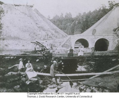
This view is looking north at the viaduct. West towards East Canaan is left and College Road (Browns Lane) is right. The old picture from the CHO archive shows the viaduct during its construction. I'm not sure whether it is the north or south side. Oh, well more trips to the site I guess. Darn!
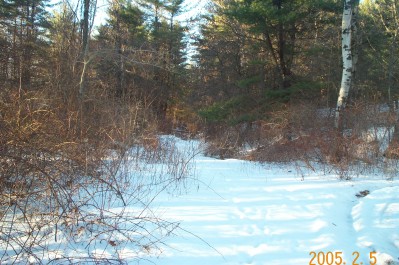
Next is the Canaan Valley crossing.
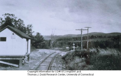
This is looking east across Canaan Valley Road towards the viaduct. Behind me was the milk station shown in the old photo at right from the CHO archive.
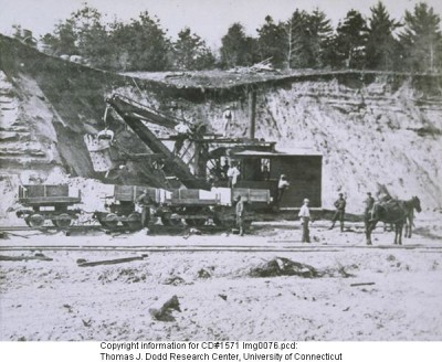
Looking west towards East Canaan. The milk station was just inside the field where the gate is. During construction of the viaduct the dirt was taken from where the field is now by the steam shovel and horse drawn lorries to fill the viaduct. Written reports said it took 50 men and 100 horses months to fill the viaduct.
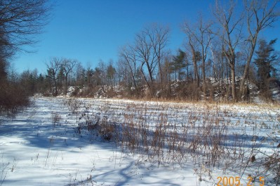
After the dirt was taken the CNE used the pit area as a small yard and later there was a small fuel distribution facility here also.
West is East Canaan.