East Canaan
East of here is Whiting River.
East Canaan was one of the most productive areas on the CNE in Connecticut. Here there were blast furnaces, limekilns and charcoal retorts. Iron ore was brought in via railroad from Mt. Riga, Lakeville and most of the other mines nearby to the 3 blast furnaces located here and pig iron was shipped out also via the railroad. There were at least 3 limekilns in the East Canaan / Canaan area that shipped via the railroad too. The blast furnaces had a huge appetite for charcoal so that industry was prevalent in the area as well.
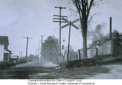
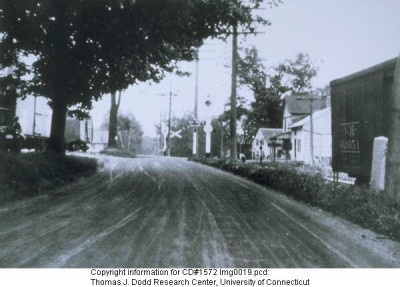
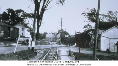
(Right Picture) Standing on Albany Turnpike (Route 44) looking west. Caufield Lime Co. is behind boxcar on right. Casey Hill Road to the right. East Canaan station is ahead over the rise in the road for the grade crossing. (Left picture) Taken from the right of the right picture shows Caufield Lime and the station better. Almost a reverse picture of the present day eastbound shot a few pictures below.
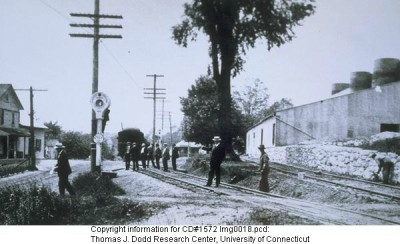
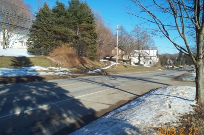
Again, standing on the Turnpike looking back east towards the last picture. Caufield Lime is to the left and the station behind.
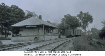
This is the old station. Near as I can tell Route 44 goes right through where the station was.
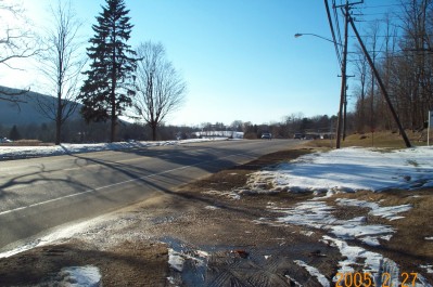
Standing at the intersection of Route 44 and Casey Hill Road looking west. The parked car in the center is about where the station was. To the right (and the right picture) is the remains of Caufield Lime and the siding that serviced it.
Looking back eastbound the driveway in the center is the right of way. Almost an identical picture of the old one from the CHO archive. You can follow it from Route 44 back towards the Canaan Valley crossing. It goes behind some houses and up in back of the cemetery before turning up the valley parallel to Canaan Valley Road.
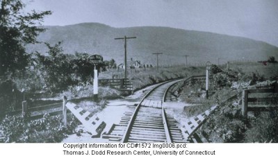
West of the station is the Furnace Hill Road grade crossing. This picture is looking west. From CHO archive
West is Canaan.