Mad River Valley
East of here is West Winsted
As the CNE leaves West Winsted it starts its climb up through the Mad River Valley. It comes out from behind an industrial area and goes through a few cuts and over some fills:
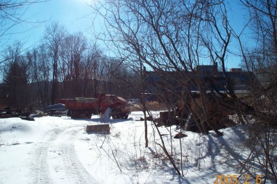
This view is eastbound headed back toward West Winsted Yard. The right of way comes around the left side of the building and through the truck. It then continues up the valley.
Looking westbound towards the first cut.
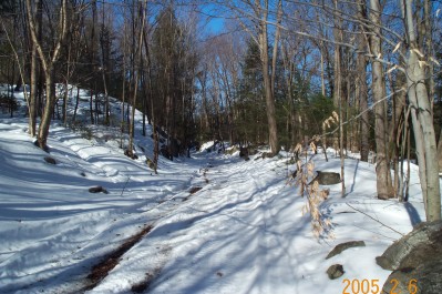
Eastbound looking back towards the first cut which is around the corner. Down below on the left is the remains of the power house for a factory building (possibly on of the Richardson buildings) on the other side of the river. Turning around to look westbound:
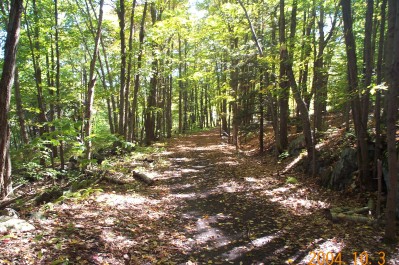
We see the second cut the railroad made in the mountain.
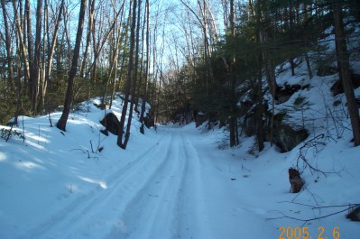
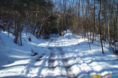
View eastbound on the other side of cut #2. Turning westbound again:
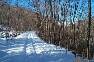
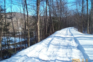
We see a long fill leading to the dam in the distance. The Mad River is in the valley below. Around the bend the roadbed disappears. Possibly because the fill was needed to make the dam or it was washed out.
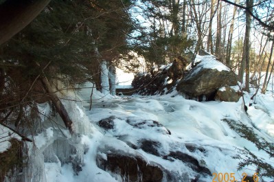
After climbing over rocks and through brush (much easier in the winter. Just don't slip!) You can get this view of the spillway for the river. If you notice the nice vertical cut the water is flowing through it was made by the CNE. After the flood of 1955 the Corps of Engineers decided to build a dam across the river so the disaster in Winsted wouldn't happen again. Just north of here there was and accident site (now under water) that Robert Nimke has some nice pictures of in his books.
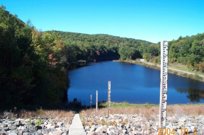
The view from the top of the dam is beautiful. Looking westbound from the top you can see the surge area for the river. Directly at the bottom of the stairway is the inlet to the spillway through the CNE cut. The railroad continued up the left side of the lake (mostly under water) until you get about halfway around the bend.
Once the roadbed comes up from the depths it is covered by a large pile of earth. after that it continues through the woods. The above picture shows the roadbed eastbound looking towards the earth pile (around the bend). The river is straight out through the trees and brush flowing from left to right. The concrete highway in the view from the top of the dam has just crossed the river and is coming parallel to the right of way.
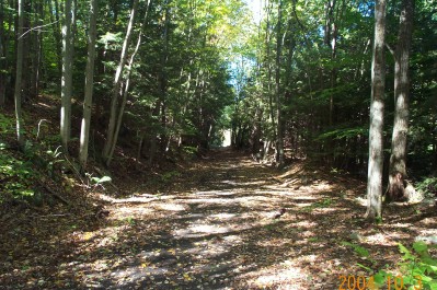
Looking westbound we see the light at the end of the tunnel. This is where the railroad crossed the river. The concrete highway took over the right of way after the railroad abandoned it.
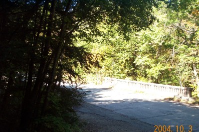
This is westbound as the right of way comes out of the woods. The highway bridge in the picture is in the location of the original railroad bridge. The original highway never crossed the Mad River it was always on the east side. After the railroad abandonment and before the dam the Department of Transportation took over the right of way from here, north, to the intersection with the Danbury Quarter Road where the highway went north and the railroad went west up the valley. The next stop is Grants