Grants
East of here is the Mad River Valley
After the Dam and the valley the railroad cut west, still along the Mad River. In fact it follows the Mad River to its source at Smith Pond, just east of Summit.
Looking back eastbound towards Mad River Valley above. The river is actually parallel to the roadbed here and is off to the left about 100 feet. Turn around westbound below:
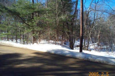
The road in the picture is called Grantsville Road. It goes from here, crosses the river and intersects the Danbury Quarter Road. Evidently the Quarter Road stops at the intersection and Grantsville continues west.
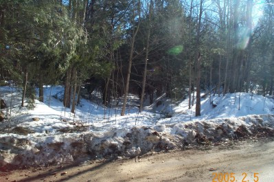
The next grade crossing is the Schoolhouse Road grade crossing (above) looking east.
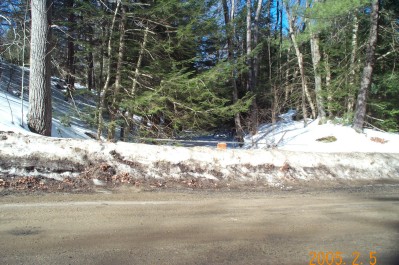
This is looking west upriver. The railway comes in from the grade crossing at right and crosses the river here.
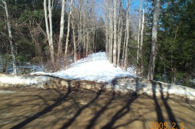
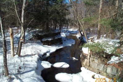
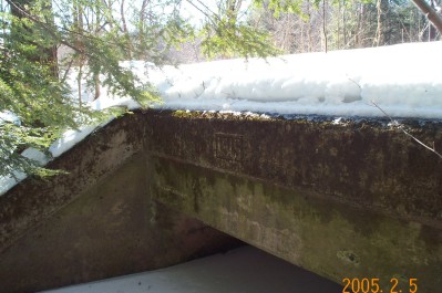
Next is the crossing of Grantsville Road. Here we are looking westbound towards Summit. The picture of the bridge below is between the red gate and the road.
Next stop westbound is Summit