Lakeville
East of here is Salisbury
Coming into Lakeville from Salisbury after crossing Salmon Kill Road the roadbed starts into a marshy area. From here there where at least two sidings that I know of and possibly a third. As you are heading west you would come to a siding leading off to the right headed for the Davis Mine. A possible area of the siding is near Meadow Street or Brook Street. This would lead to the present day Inn At Iron Mountain.
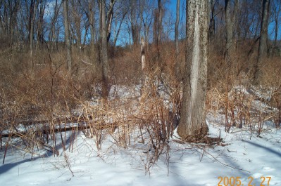
You might be able to make out the cut through the brush of what might be the siding grade. I was standing on the main line looking towards the mine. Westbound to the left.
Further towards Lakeville you come on the present day sewage treatment plant on the left. I have seen the map in Bob Nimke's third book and a map in the Salisbury Library and a book that is published by the Salisbury Association that says there was a siding leading to the E.W. Spurr sawmill that goes either through or near the treatment plant. Other people place the sawmill and siding in the center of Lakeville where the present day Harrington's Lumber is. There was also a marble quarry on the left near the sawmill. This sawmill is an interesting question to me as the E.W. Spurr family is actually a distant relative of mine.

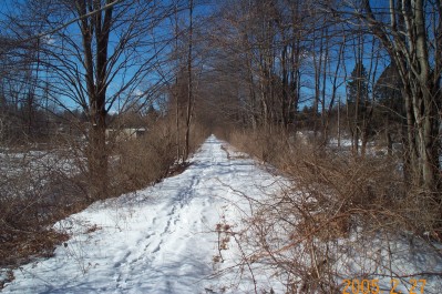
This is looking west towards the sewage plant and Lakeville.
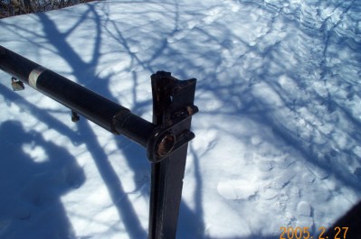
Look familiar? Could this be a piece of CNE trackage? This is located just east of the sewage plant to keep vehicles off the CNE based walking path.
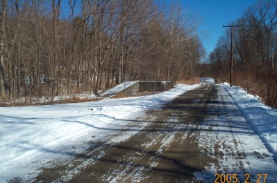
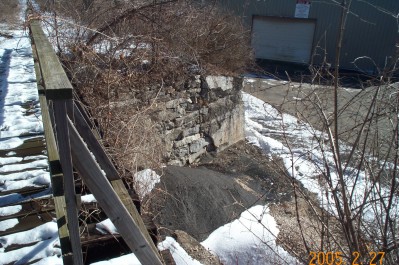
An eastbound view of the LCL freight dock west of the sewage plant.
Looking west towards the ballfield and the Community Service (Harrington's)
Looking east the old Community Service coal trestle went off here into what is now Harrington's
West of here is Ore Hill