Haystack Mountain
East of here is Norfolk
As the railroad approached Haystack Mountain from Norfolk it crossed at the head of the valley from the east side and tucked up against the mountain. Then it crossed a stream and a few tributaries and went up and over Ashpohtag Road and into Stoney Lonesome.
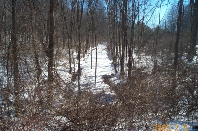
This is the eastbound view back towards Norfolk from the Route 272 culvert fill which replaced the Dry Bridge.
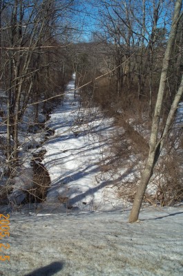
Here's the westbound view towards Ashpohtag Road and Stoney Lonesome.
Further west we run into a fill and a few old stone bridges.
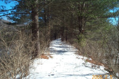
Here is the fill looking back towards the Dry Bridge.
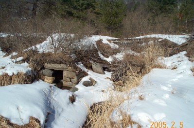
Here is the one of the stone bridges. One of the two spans has collapsed for one reason or another (my guess is a flood). This bridge is reached by a walk through some thick underbrush from Ashpohtag Road.
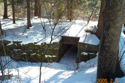
This bridge is close the Ashpohtag Road. It is wide enough for the two tracks of the Haystack siding listed on the CNE timetables. From here it is a short drop down Ashpohtag Road to the site of the bridge and the entrance to the walking trail to Stoney Lonesome.
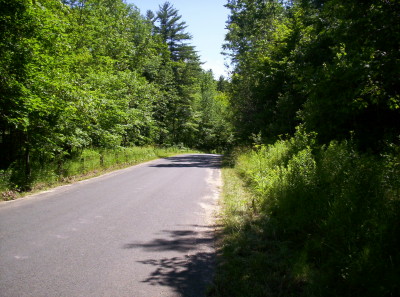
This is the area of the old bridge over Ashpohtag Road. To the left over my shoulder is eastbound toward Haystack and Norfolk and to the right along the road is the grade to Stoney Lonesome.
West of here is Stoney Lonesome .