Collinsville
East of here is Canton. Pictures east of here can be found on Tim Dowd's web pages here
As the line comes into Collinsville from Canton it's right of way has been paved under Railroad Street. As the line came in it used to split around the Collinsville Junction Station with (looking westbound) 2 tracks going right continuing on westbound and one track going left and going to the station in the center of Collinsville. The Junction Station has been moved and remodeled to serve as a shed of some sort. The Station in the center of town has been torn down and now a road ( Route 179) runs through the sight. The bike / walking path on the edge of the Farmington River in the center of town is in about the same spot as the old roadbed.
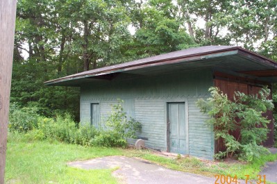
This is a picture of the old Junction station.
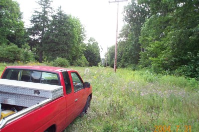
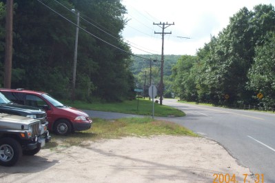
Where the red truck is is approximately where the Junction Station used to stand. This picture is looking eastbound towards Canton. The station building is to the right.
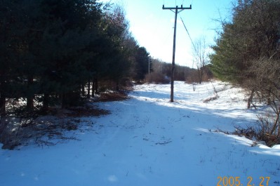
This picture was taken from the driveway to the Police Department in Collinsville off of what is now River Road. Between where I'm standing and that big tree on the left is where the left-hand track from the Junction Station met the right hand track from the Gildersleave road switch at another switch to form a "Wye". This was basically a large triangle of track that the enginemen could use to turn their engine or a whole train. from here the track continued through the brush in the center of the picture and over a small creek.
This is a reverse angle of the picture above. The brush in the center of the picture is the opposite side of the bridge mentioned above. Behind me is the corner of Route 179 and River Road.
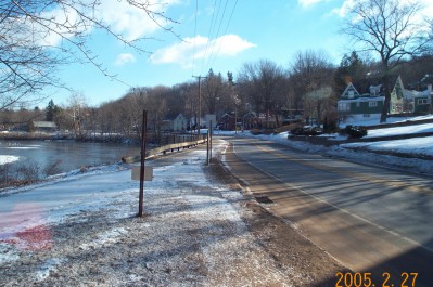
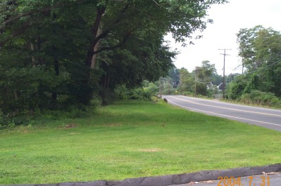
This picture is facing westbound. The intersection River Road and High Street is just off of the right edge of this picture. The railroad followed what is now the bike trail on the left along the river into town. Turning around you get the picture below:
The High Street Station was right about where the crosswalk is now. The road didn't go through until later. The original road went up the hill on the left side of the picture as High Street.
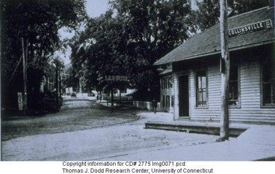
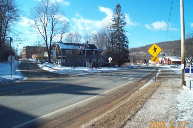
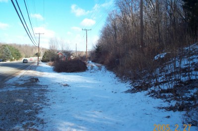
This picture came from the Dodd archives at UCONN. It shows the station from almost the same angle as mine. From this end of the wye the train could go either east or westbound depending on which leg of the wye they took. We are going to continue going westbound so we are going back up to the area of the picture taken from the police department's parking lot and continue on.
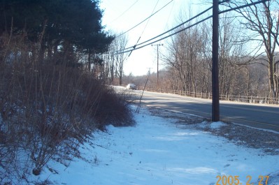
This is looking back eastbound towards the wye and the police building. The road coming in from the left is Gildersleave. Just on the other side of the road was the switch that sent you either left (eastbound) to the Junction Station and Hartford or right to the High Street Station. In the distance around the corner in the road is the police department parking lot. The road I am standing next to (Route 179 now) did not continue as is does today. It used to bear more to the right and go right along the bank of the Farmington River. The old road still exists today and is called the "Old River Road" but it leads to a CDOT garage.
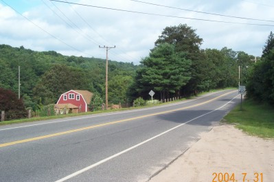
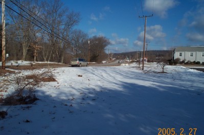
Looking westbound again this is where the line crossed River Road (Route 179). Here the road does what is has for years- go up and over while the railroad goes out and around. The river is just on the other side of the red barn.
After you go up and over with the road the railroad comes back across the road and heads behind some houses and a small industrial area:
The roadbed has or is being used for an aqueduct or at least that is what the 1953 topographic maps say.
West of the industrial area it comes back towards the road through a small cut and over a small bridge:
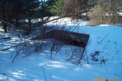
Though I can't find any casting date in the bridge it looks like most others that I have seen on the railroad and the bridge is in the right spot and looks to be of the same construction and size as the rest. I'll go out on a limb here and say that I believe that this was built by the railroad.
After the bridge the railroad crosses the road yet again and goes down along the river and under the east end of the Route 202 bridge. From there it goes into Cherry Brook.